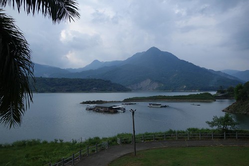
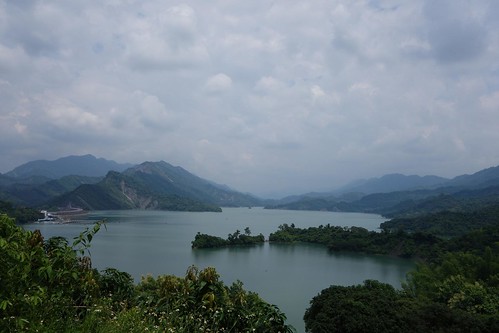
The Tsengwen Reservoir
Three days. 240 kilometers. 4500 meters of climbing. Nathan Miller and I rode across the mountains of southern Taiwan, in search of a flat area. Found none. Three days of climbing later, I was sore but still alive. Good ride, great company. Click on READ more to see the pics....
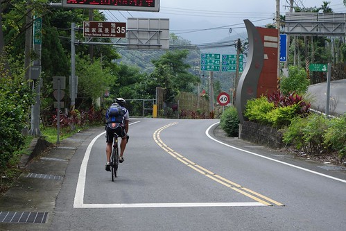
Route notes (
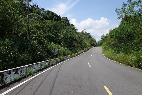
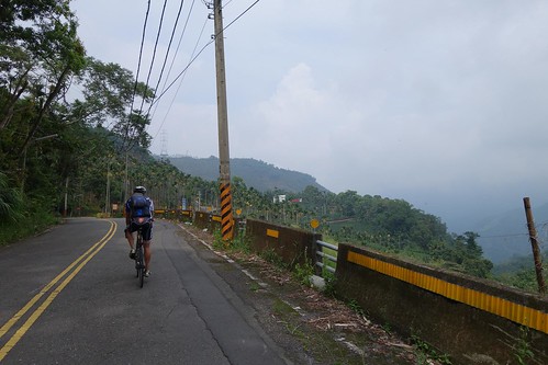
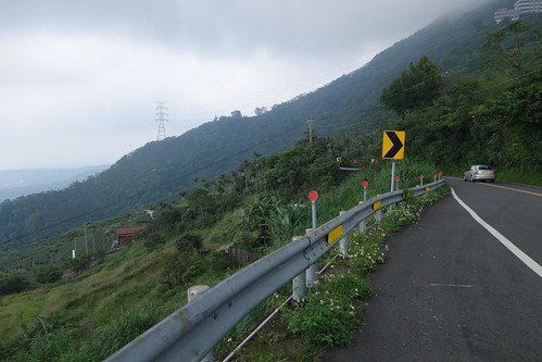
map here): Day one: we took the 149 from Zhushan up to the Nantou 212-1/Chiayi 151-1. Both of those roads are pretty. There is water and snacks available on the 149 but not on the 212-1/151-1. Be prepared to climb, grades range between 6 and 12%. Road surfaces are ok but not great, poor in places, and often covered with detritus. On the 212-1/151-1 vehicles will take up the whole road so be careful. The descent on the 162
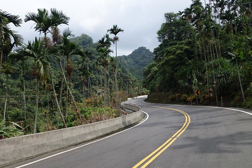
甲 is one of the best on the island, 10 kms of switchbacks, 7-8% grade, staggering views, and great curves and straightaways. These roads are all gorgeous and highly recommended.
Day 2: we took the 3 from Zhuqi. Not recommended. A long uphill slog, dull, with few places to stop for water or snacks until Fenshuiling near the top. The grade is not difficult but it is work with little reward.
Day 3. The Chaiyi 147 has been redesignated the 149, so at present Google maps is wrong. It is one of the prettiest roads I've been on. After you begin the descent the road surface becomes heavily broken and cratered between kms 7 and 10, be careful. There is no place to stop for water or food on this road. The grade up to the top is not difficult, 6-8%. The 147 runs into the Tainan 179, probably the worst road I have been on in Taiwan. 16 kilometers of hills, no flats, no water, no food, no people, no views. Brutal 10-12% grades on every hill, terrible pavement, few vehicles passing by if you run into trouble. Avoid like plague.
Like so many other rides, this ride began at the train station. I took the train to Ershui and then rode the 15 kms over to the entrance to the 149 in Zhushan. The 3 between Taichung and Zhushan is crappy and I prefer to avoid it. Note that I merely take the front wheel off and drop the bike in the bag. No need for heroic measures.
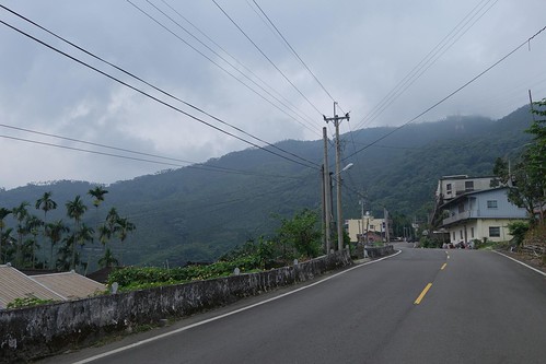
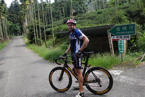
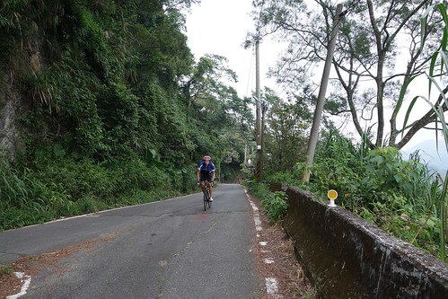
Nathan was massively delayed, which ended up affecting the ride. But as we took the 149 south in direction and up in altitude, it was obviously going to be a splendid day.
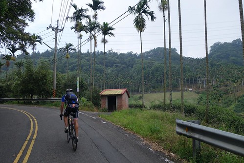
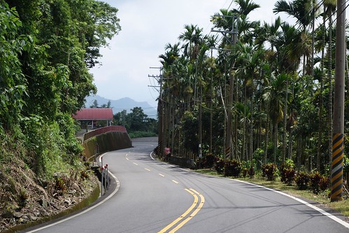
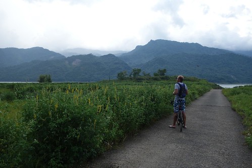
Nathan enjoys the 149
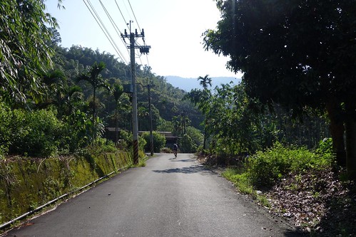
We took the 149 instead of breaking off towards Caoling as we usually do, and started seriously climbing. The view back down the road.
Nathan grabs his camera for a shot. The 149 is a gorgeous road in the hills.
Rounding a curve.
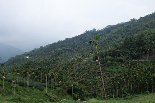
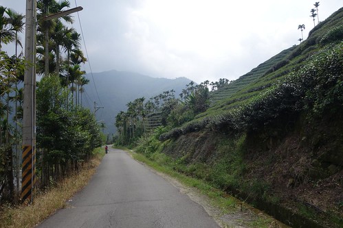
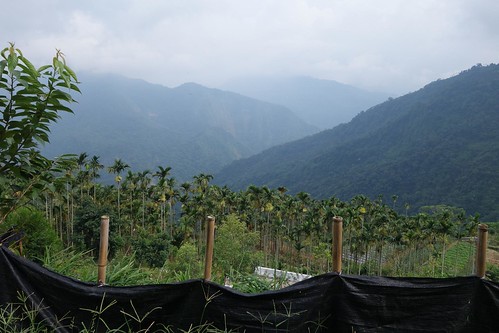
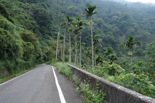
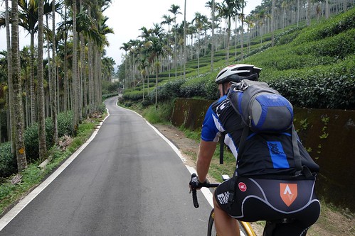
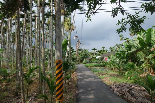
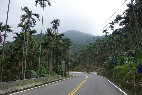
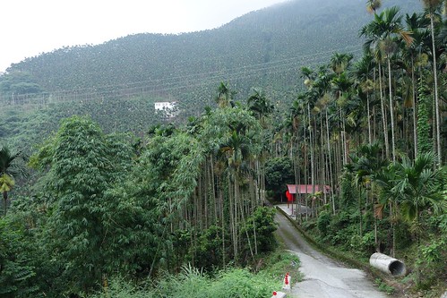
The 149 cuts through tea and betel nut plantations at 600-800 meters.
Soaking bamboo shoots.
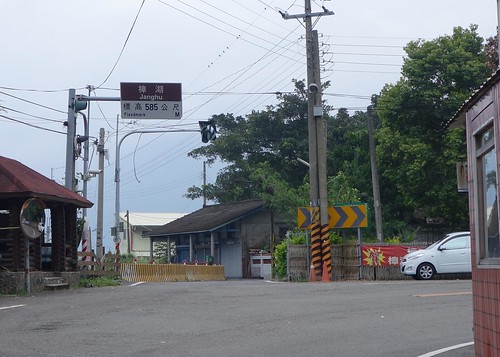
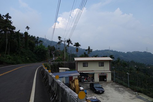
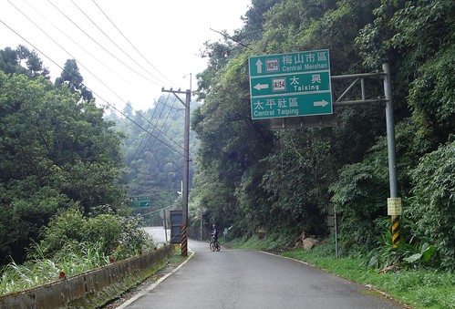
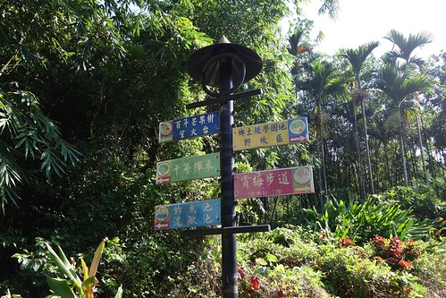
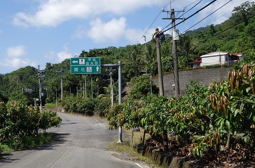
This sign is one of my favorite in Taiwan. Here the 149 curls around the ridge across from the Ten Thousand Year Gorge. There are snack shops near here, the last ones on this route.
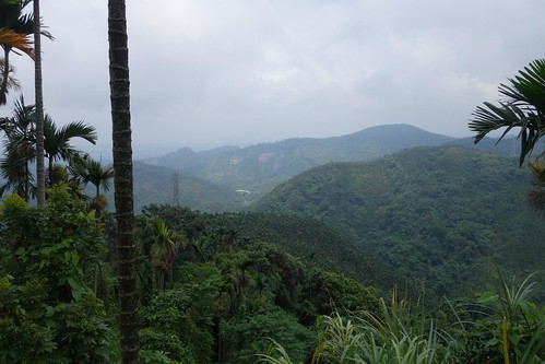
Fantastic views.
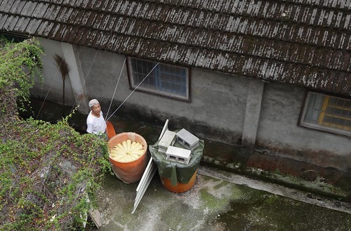
As we stopped here to snap some pictures, someone came out of the house and invited us in for tea.
A powerful rider, Nathan eats hills alive.
Nathan snaps a pig to be roasted for the Mooncake Holiday meal.
The 149 keeps climbing.
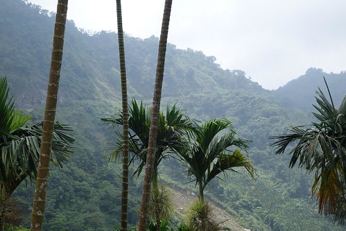
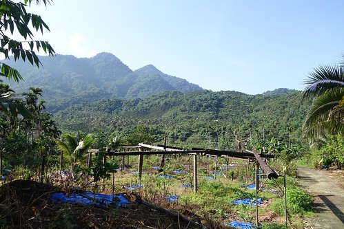
The terrain.
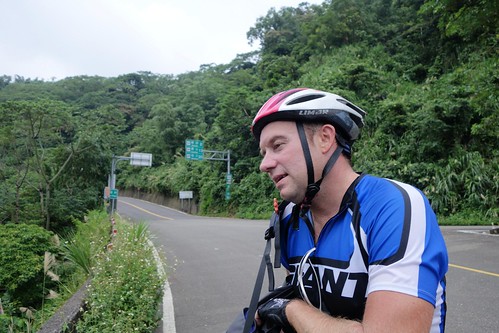
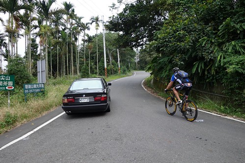
Nathan poses at the entrance to the 212-1. This road looked very promising on the map. It was excellent.
More climbing, but it wasn't bad.
Children play across from a tea farm.
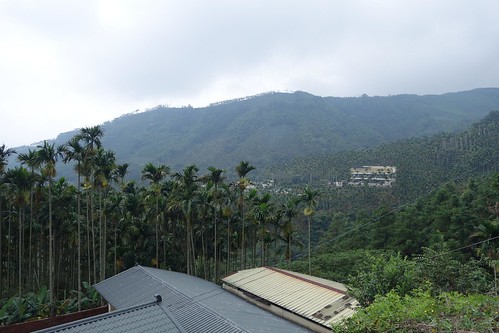
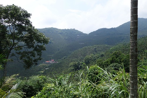
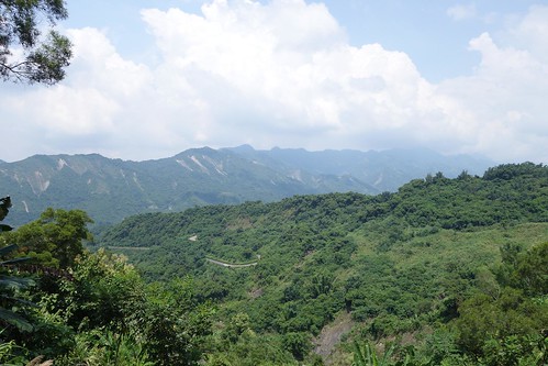
Taiwan's mountains, so steep and mystical.
Here you cross from Nantou into Chiayi. The Nantou 212-1 becomes the Chiayi 151-1 shortly thereafter, and the pavement quality falls. But the enjoyment remains the same.
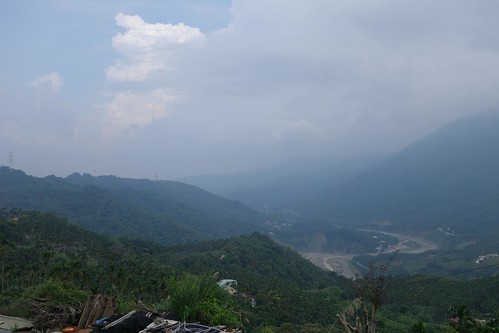
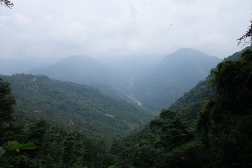
Looking up the gut of the Ten Thousand Year Gorge.
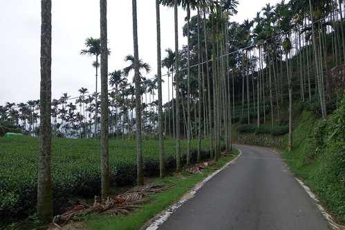
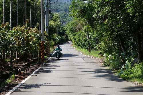
The farms end for a while and the road becomes less crowded, wilder.
Nathan surges up the Chiayi 151-1. This gorgeous road splits here, one section of the 151-1 going up to 1100 meters, the other skipping along the ridge at 900. We took the lower section. Highly recommended. All of these roads are on Google Streetview too.
Back among the tea farms.
Excellent views, of course.
What a great road.
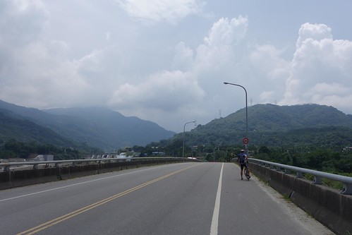
Unfortunately, because Nathan was really late and I am a really slow climber, we ran out of time so we decided to take the 162
甲 off the mountain. We were sad about missing our planned excursion over the 154-1 and the 166; they looked awesome. I'll be back up there next month for sure.
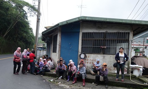
Tea pickers wait to be picked up.
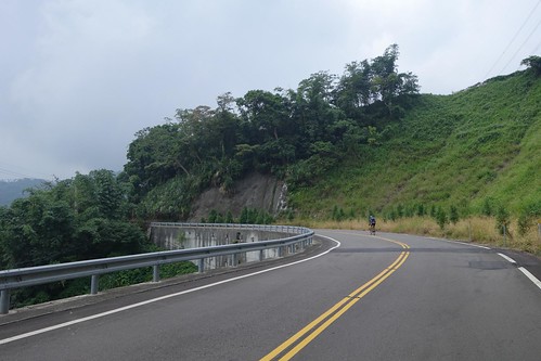
We got to the top of the 162
甲 and suddenly... we weren't sad. The downhill starts at 1000 meters or so, and each switchback has the altitude marked. This first one is at 942 meters.
I looked out over this downhill and whooped. Pure switchback heaven. Put this one on your list.
The overall grade is 7-8%, easy to control the bike, and the views are staggering.
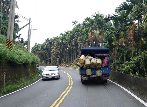
On the way down I passed the truck carrying the tea pickers. Here it is laden with people and tea baskets.
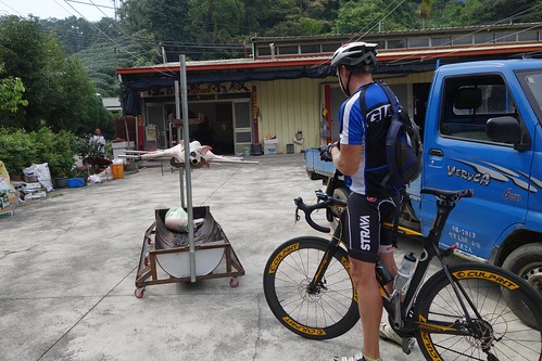
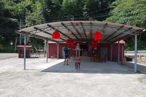
We stayed in Zhuqi at this little bed and breakfast right on the 3. Easy to miss. Very clean, and they charged us only $2000 for a $4000 NT room. Total for the day: 82 kms with 1500 meters of climbing, and all of it enjoyable.
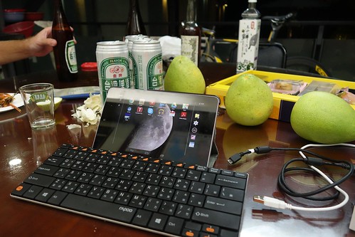
Then they fed us mooncakes, fruit, and BBQed seafood while I worked.
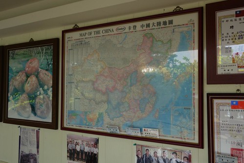
In the morning of Day 2 I took a pic of this map of China hanging on their wall. All the nations that are not China are white. Mongolia, however, is in gray.
We had breakfast and coffee, and noted with cheer the sign that said DAPU 31 KM. The plan was to take the 3 over the mountains to Dapu and eat lunch, and then perhaps hit the 147/179 along the Nanhua reservoir, eating both reservoirs in one day. I had long wanted to do these roads, and was really looking forward to the ride.
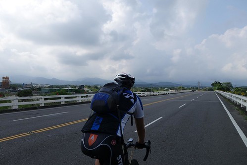
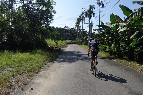
Nathan enjoys a rare flat section on the 3.
We went down the 3 a few kilometers and suddenly Dapu was 48 KM away. Say what?
Farms along the 3.
Finally we hit the beginning of the long climb on the 3. 900 kms of up was in front of us.
This was a one-crop area, with few places to stop for water or snacks.
Hard to believe there were this many betel nut trees in the world.
Betel nut trees overrun the mountainsides.
Very occasionally there were good views, but for the most part it was a monotonous slog through a landscape of betel nut.
Finally. A glimpse of the top?
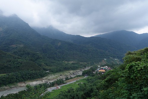
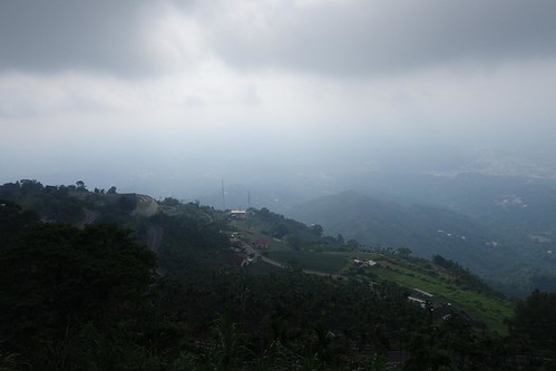
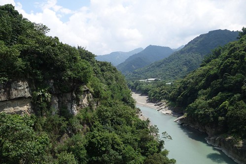
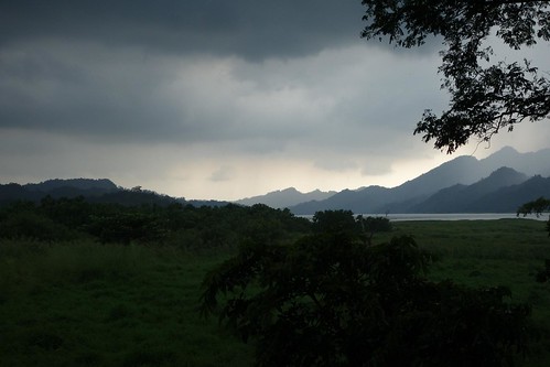
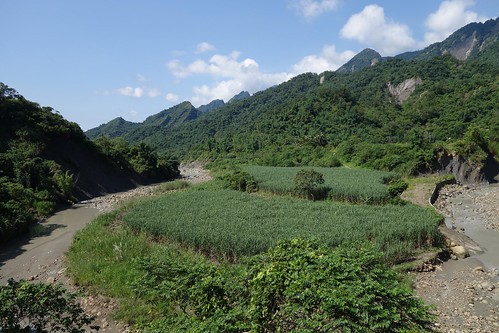
Nope. After I rounded that curve (where the Chiayi 147 splits off and falls down the mountainside) I continued to climb to Fenshuiling, where there is an scenic overlook with the Tsengwen Reservoir below. Still had to climb a bit, though.
Finally the 10 kms downhill. Wheeeee!!! I was so happy to see that after the long dull slog up the 3.
It's a pretty descent, but I didn't take too many pictures.
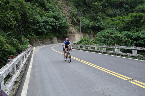
Nathan rocks the descent.
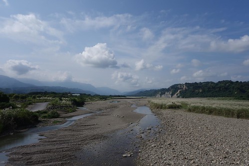
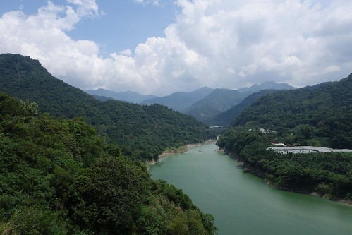
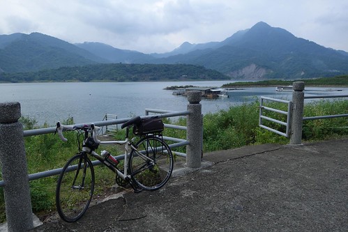
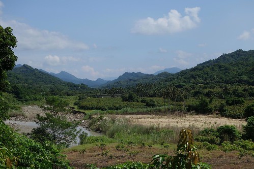
As you come off the descent you turn west and run for several kilometers along this arm of the reservoir to the bridge in the distance.
It's a pretty spot from the bridge.
Finally crossed the bridge and heading for Dapu. The Dapu township line was 43 kms from Zhuqi. Dapu town itself was close to 53. What did the 31 kilometers refer to??
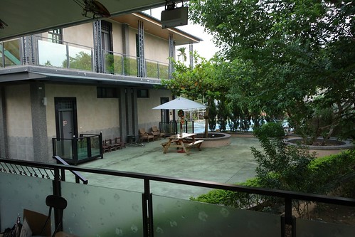
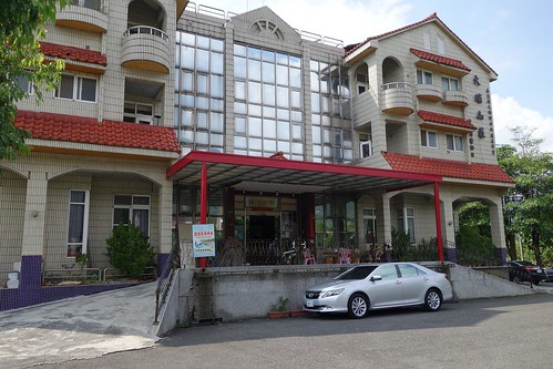
We decided to call it a day in Dapu. Total for the day: 61 kms with 1400 meters of climbing. In Dapu we stayed at the clean Dapu Shanjuang. He charged us $2000 for the $2200 room.
Your text here.
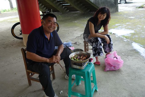
In the early evening we rode down to a park to get some romantic shots of the reservoir before dinner.
This couple was having a romantic dinner under the pavilion which offers you a view of the lake.
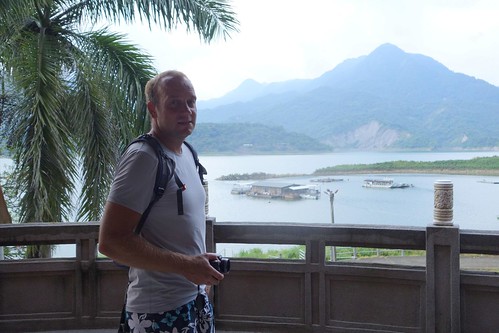
Nathan poses.
Counted coup by the lake.
Nathan searches for a shot.
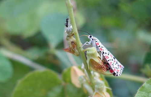
Polka dot bug.
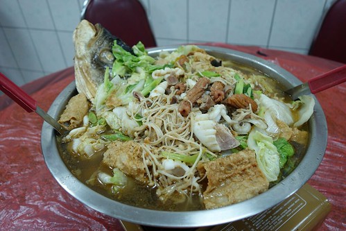
We had dinner at one of the local seafood restaurants. This amazing soup was someone else's dinner.
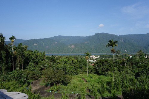
Day 3 dawned with alluring blue skies. Here you can see our hotel there in the center of the picture. Our plan was to ride over the Chiayi 147 to the Tainan 179, ride down the length of the Nanhua Reservoir, then pick up the 21 and head for the 28 across the moonscape to the Tainan HSR. Too ambitious, as it turned out.
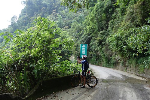
It's six kilometers to the entrance to the 147. Wait. The 149? Later we figured out that the Chiayi 147 had been redesignated the 149. On Google maps it was still the 147.
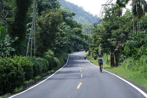
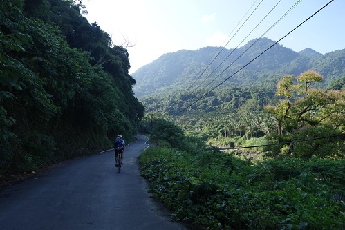
Nathan rockets up the 149.
The 149 climbs up to 600 meters through farming country. It is an easy climb, some 300 meters from the 3.
The perfect road for a perfect morning.
There's still a sign with the old road name.
After the road peaks you find yourself next to Pinglin Leisure farm amidst a pleasant landscape of farms and fruit trees.
Really a lovely place to spend a few hours.
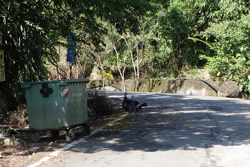
Turkeys. Chiayi is famed for its turkey over rice, perhaps earth's blandest dish.
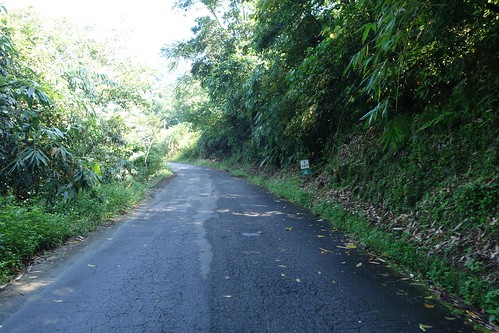
The 147 descends through farms and ridge-and-gorge terrain that is reminiscent of the east coast.
Stirring.
Finally we reached the Tainan 179.
Morning deliveries.
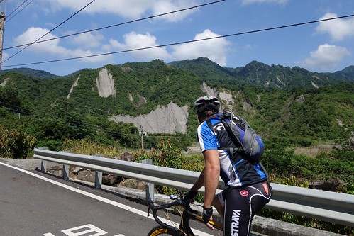
Nathan takes in the landscape.
Looking back along the valley from the little temple.
We stopped at this little temple in that state of euphoria that perfect weather and perfect terrain leave a cyclist. This was the high water mark of the day. We were looking forward to the ride down to the Nanhua Reservoir. I mean, the road ran along the reservoir and obviously ended up below our current altitude. Another long flattish downward incline. Probably have to beat a couple of hills, I was thinking, but no big deal.
The 179 turned out to be absolutely brutal, 16 kms or so of up and down hills, none big, but almost all 10-12% grades, a couple every kilometer. Because the area around the reservoir is a conservation district, there was no development -- no houses, no water, no people, nothing. The road surface was broken up with great gashes that ran parallel to the direction of travel, dangerous invitations for your wheels to slide into. And of course, no views, the whole thing was vegetated over. It was basically 16 kms of brutal ascent and descent, with nothing flat. I'm only showing you this one picture to prevent you from plunging into the depression I felt as I surmounted a crest only to see another hill, again and again.

Finally you come to the last hill, with views over the Nanhua Reservoir from the second switchback. It was a complete nightmare. By the time I reached the top, I was a dead man, completely broken. My view is that the little hills are what break you. Big hills one is ready for, one respects, rests properly, waters properly, takes them at the right pace. But little hills always seduce you into thinking you can gun it to the top -- it's a small, hill right? Just run right up. Ten of those and you're whipped. The Tainan 179 is not recommended by this writer, for any purpose save weight loss.
The view from the top looking back over the switchbacks. This was before the final 30% grade some fiendish road engineer had decided to throw in.
I was too whipped to do anything more (or so I thought, though later I recovered just fine). So we turned west on the 20 and headed past the reservoir. When we reached the end of the 179, we had done 43 kms with 1100 meters of climbing.
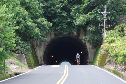
There were plenty of hills on the 20. Nathan rides a tunnel after climbing a hill.
Nathan runs past the Holy Glory Temple. We finished the day at the Tainan HSR with 99 kms of distance, and 1500 meters of climbing.
All in all, only the first day was really enjoyable. The 3 is a slog, the 147 a bright moment, but most of it was work. I don't recommend any of the routes we took on day 2 or 3, except for the 147. Still, it was great to see more of Taiwan that I had been putting off, and to spend a couple of days with a good friend.
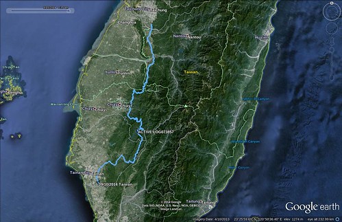
Nathan's GPS route map of the ride. Very pretty.
_______________________
[Taiwan] Don't miss the comments below! And check out my blog and its sidebars for events, links to previous posts and picture posts, and scores of links to other Taiwan blogs and forums!


8 comments:
The road along the eastern side of Nanhua reservoir is terrible for at least what probably amounts to about half of its' length.
However, I know the area very well and I am confused about one of your pictures of Nathan entering a tunnel. Your caption:
"There were plenty of hills on the 20. Nathan rides a tunnel after climbing a hill."
Nathan is entering that tunnel (cycling uphill) in the direction that would take him toward Nanhua reservoir, yet your route was taking you away from the reservoir. Did he turn around just specifically so you could get that shot?
No, you're just confused. We were heading west into the tunnel.
Michael
Check it on streetview:
link
Well I suppose that just goes to show how easy it is to make mistakes.
First time visitor....Great wrap-up of what had to be a
First time visitor, and I think I messed up a comment already...anyway....Great wrap-up! The ride photos are awesome. That is the first polka dot bug I've seen. You've got to be pretty fit to be in photo range of Nathan! Nice Ride.
Naw, I'm not fit. Nathan was just kind enough to wait for me.
But thanks for the kind words.
Michael
Bob thanks for the kind words. This really was a really special tour.
Post a Comment