Used the two days of good weather to steal a ride in the south to Namaxia. Gorgeous weather, grand scenery, and great conversation made for a perfect two-day ride in the mountains of Tainan, Kaohsiung, and Chiayi. It was my first ride in a long time, with my hip finally feeling better. So happy... Props to Drew, who planned this wonderful ride, his description with lovely pics is here. Click on READ MORE to join us on this great ride.
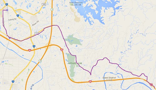
ROUTE NOTES: We took the 6:33 fast local train to Longtian station in Tainan, arriving at 8:36. A bike bag revolutionizes your riding possibilities! From Longtian we took Sanmin Road down to the 171, intending to get on the 84. But at that point the 84 is still an expressway, usable only by cars and big motorcycles. Very annoying, because the 84 is the only bridge across that river, and bikes and scooters can't use it. So we ended up taking the 171 to the 119, and then the 182-1 over to Yujing, where the 84 becomes accessible to bikes. From there the route was straightforward: 84 to the 20 to the 29 and Namaxia. On Day 2 we picked up the Chingshan Industry Road (locally marked as Huanwei Road) off the 29 just north of the place we stayed, and took that over to Dapu. From there we took the 3 back to Yujing and the 20 back to Xinshi in Tainan for the train home.
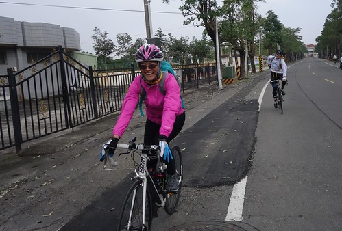
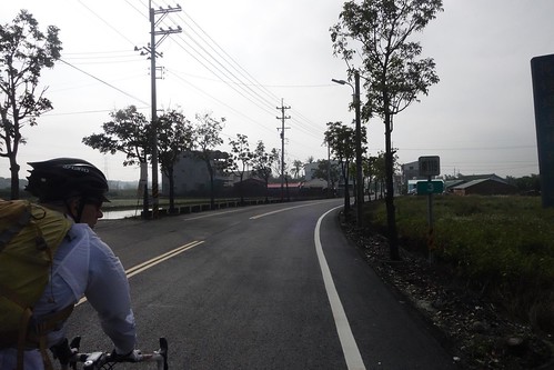
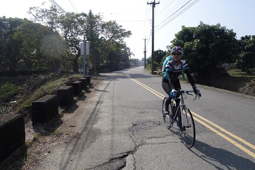
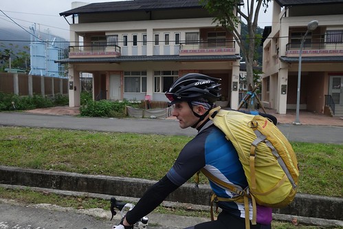
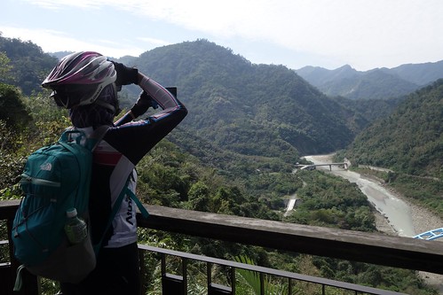
We took an early train down to Longtian, then went down to Balin to pick up the 171. Iris is delighted to be out, while Drew is getting ready to take one of his many lovely photos. Iris' photo essay is on Youtube here.
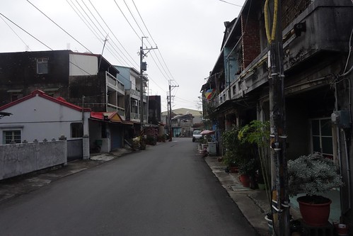
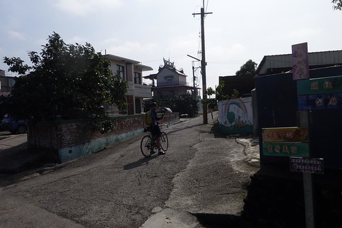
The reaches of Tainan are filled with little towns hosting buildings from the 1920s and 1930s.
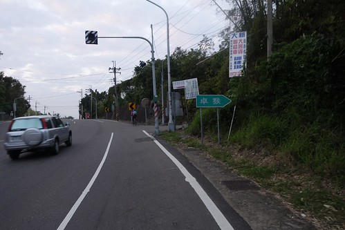
From the 171 we turned onto the 119. The roads are poorly marked -- we had to guess that the turn represented the 119.
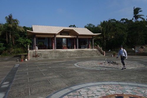
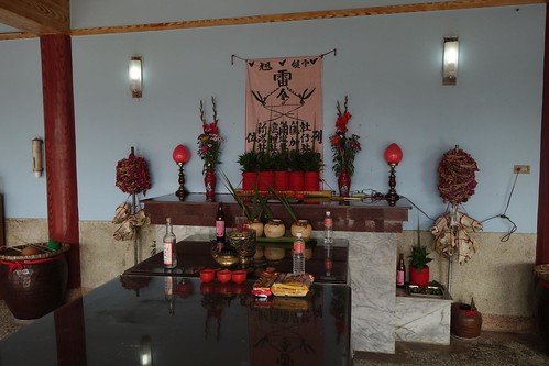
As we biked swiftly along the 119 in the increasingly lovely weather, Drew suddenly became very excited. "Check this out guys!" he yelled, and we pulled into this amazing local temple to a Siraya goddess built by the Pingpu people (the goddess, explained Drew, was taken up as a deity in local Taoism). Drew is the author of the award-winning Wikipedia page on the Taiwan aborigines, and is hugely knowledgeable about them, one reason I love traveling with him so much.
Drew will likely talk about this in some detail in his post, so I will refrain, but note the skulls on either side of the altar. This is not a Han temple.
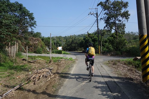
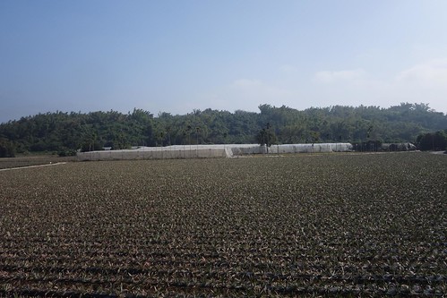
We struggled to find a bridge and parallel farm roads to the 84, since we couldn't get on it with our bikes, and ended up on this tiny farm road that eventually took us to the 182-1.
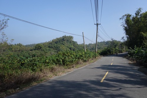
The 182-1 takes you through rolling farm country and is very enjoyable. Highly recommended.
It was already hot and we were shedding coats and layers.
182-1 is great.
Drew stops to image an old church.
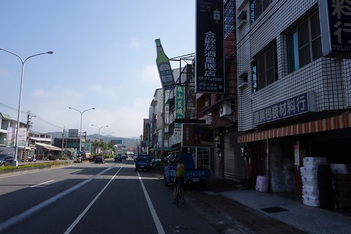
As we pull into Yujing, Drew finds heaven.
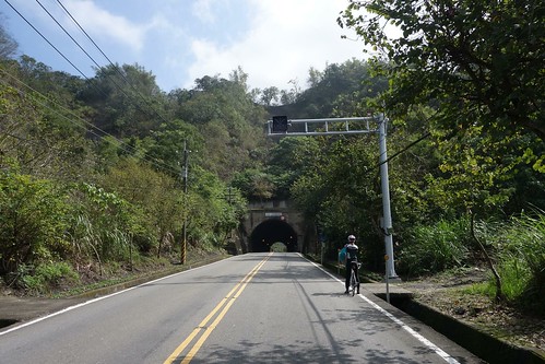
Taking the 20, we pass through the tunnel...
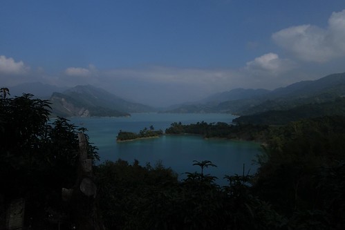
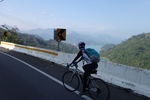
...and immediately stop for sumptuous views of the Nanhua Reservoir.
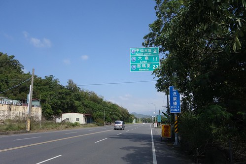
From the 20 we turn onto the 29 and see the sign: NAMAXIA 23. Ha no. It is 23 kilometers to the district boundary. It's another 10 or so to the village at the end. Signage in Taiwan is ridiculous.
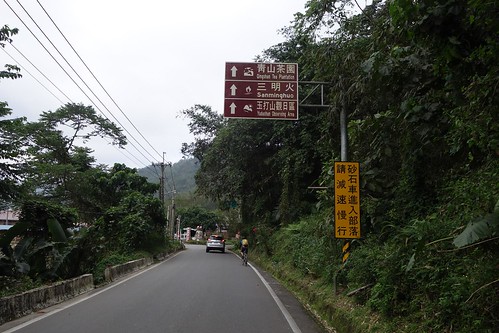
Drew grabs a sign as we head into the mountains.
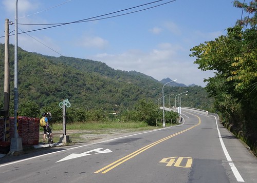
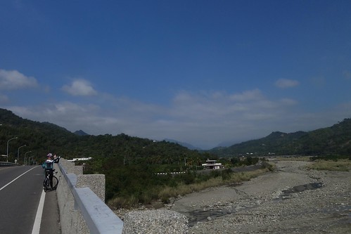
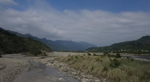
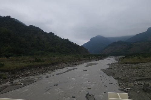
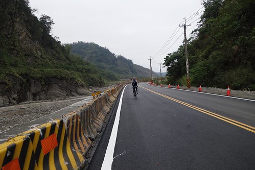
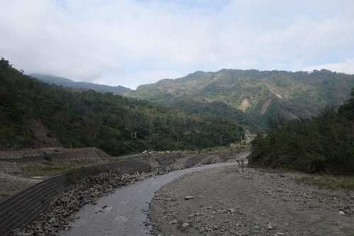
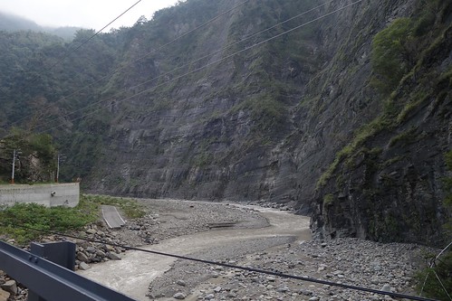
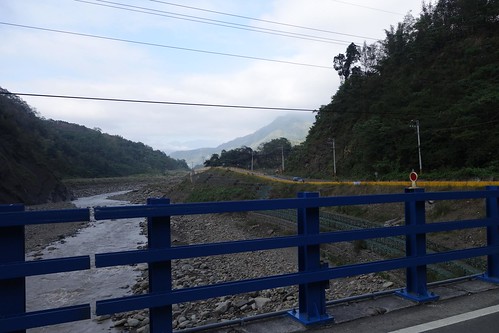
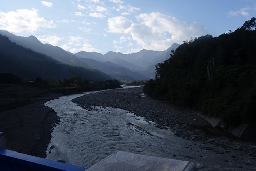
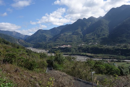
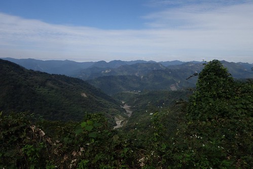
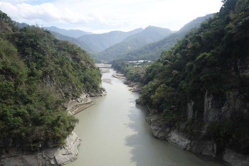
River gorge country, some of the prettiest in Taiwan
Lovely.
There are only a few small villages on the 29, so you might want to stock up on water.
We stopped for a moment near Hsiaolin village. I captured this as Drew talked to the people at the Pingpu Museum there.
We had a short few minutes of clouds, which quickly cleared.
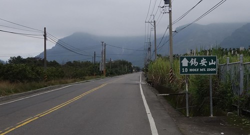
A Christian religious cult, Holy Mount Zion announces their home site every few kilometers.
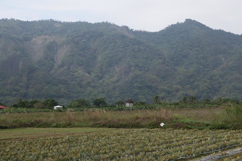
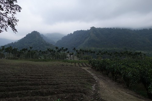
Farms, mountain walls....
Drew passes a collection of refugee homes housing aborigines moved down from the mountains. These homes exist to remove them from their domains so that the resources can be accessed by big firms. In that sense the KMT has succeeded where the Japanese failed, moving many of the aborigines out of the mountains.
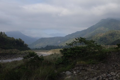
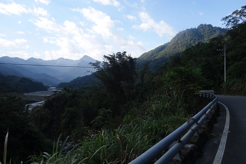
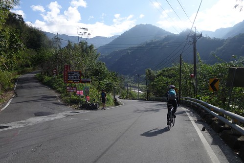
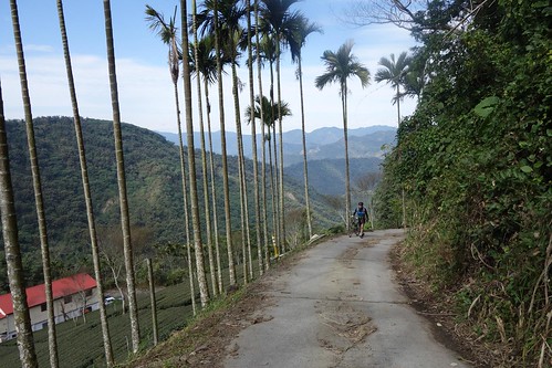
As you head north up the 29, it becomes wilder, with fewer people around.
Remains of old roads are everywhere....
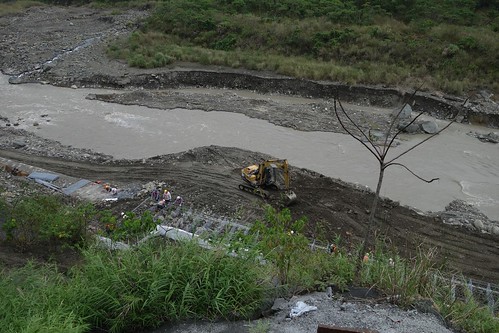
....and road construction is constant.
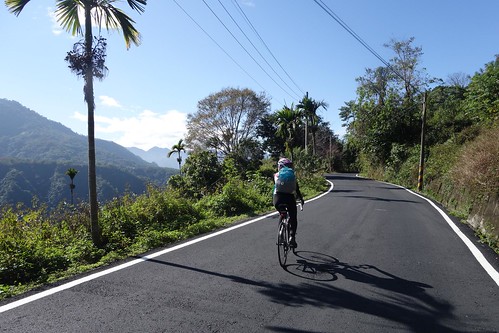
Iris heads up the 29.
Stunning gorge topography.
More abandoned road.
We finally reach Mt Zion.
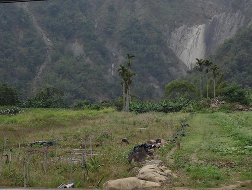
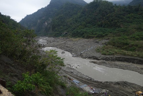
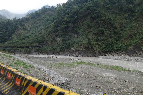
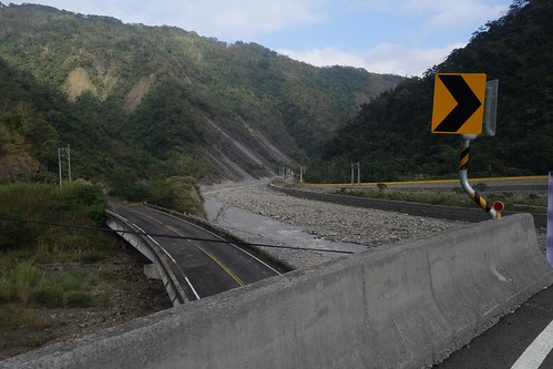
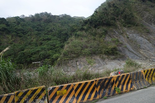
A landslide came down and punched a hole in the rock-filled structures along the river.
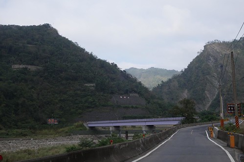
An old bridge is bypassed.
You can see where the old road runs up to this rock face and then just falls off.
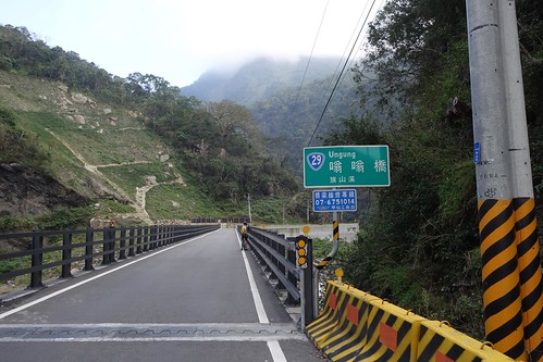
All the bridges have names in local aboriginal language.
The rock faces are amazing.
Getting close....
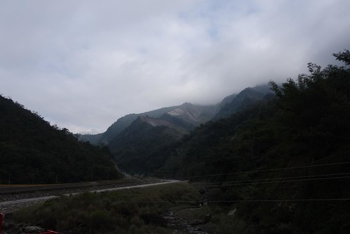
As always, light and cloud produce beauty.
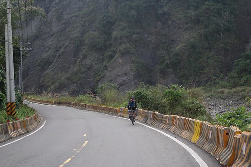
Drew charges up the 29.
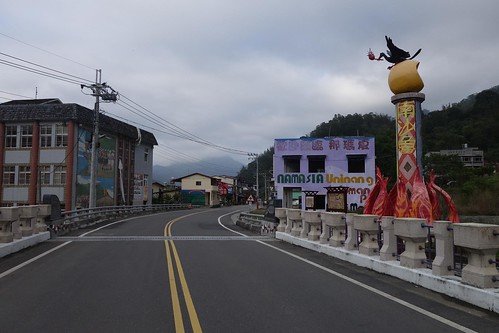
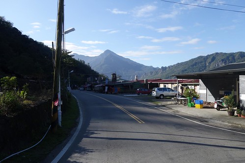
Entering Namaxia.
Plenty of tourist stuff.
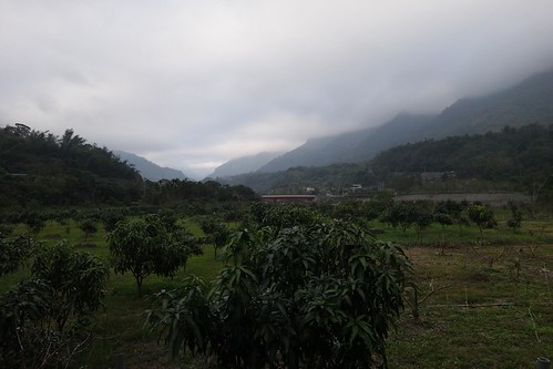
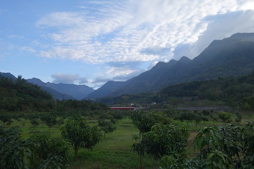
Local farms.
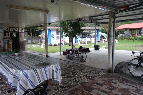
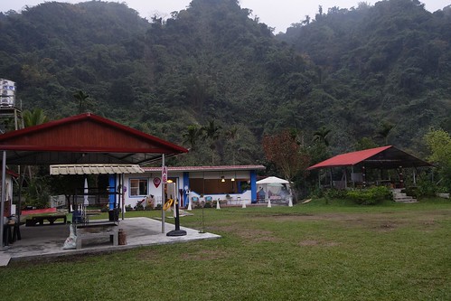
Finally we arrived at Ningni/Lingni, our hostel. Here is the view out the back. You can book with them via Facebook.
Clean, quiet, and full of friendly people. The little restaurant in the back of the picture serves up tremendous quantities of cheap, quality food. Drew articulated a thought I've long had, as we kicked back with beer and food, that the food situation in aboriginal communities was simply better. The food is hearty and inexpensive, made with excellent local materials, and is served without stint. If you go to a mountain community full of Han, it's not likely to be as good, especially if it is a heavily touristed area. Though there was no beer at the restaurant, they made a couple of beer runs for us, no problem. Really nice people. The room was 2700, hostel style. Highly recommended. Even better for me, the well known Canadian expat photographer Richard John Matheson, whose wife is from the area, stopped in to say hello. Wonderful to meet him finally.
A really enjoyable place. It was also relatively warm, and the clouds cleared, revealing stunning moon and stars.
Morning. The bike gods delivered a perfect day.
We cycled back to town to get breakfast, grabbing pictures of what was obviously going to be an incredible day.
Another picture, if you can stand it. It's gorgeous up there.
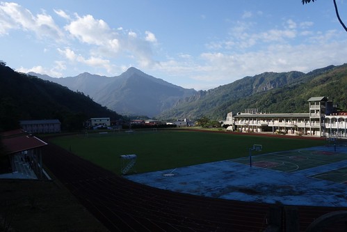
How'd you like to go to school here?
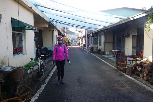
We rode down into the little community...
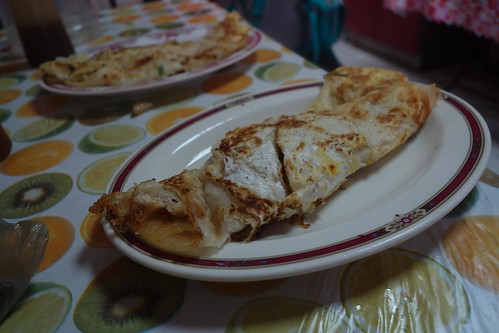
....and found breakfast in the form of these giant danbing. I ordered 2 thinking that "danbing" meant those thin factory pancake jobs, which I always need two of. Nope! I could barely finish one. Turned out the old woman running place had a Paiwan grandmother, and had lived for years in the same communities in Pingtung as Iris' Paiwan mother. It's a small, intimate world, the aborigine world.
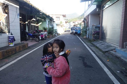
Whispering secrets.
We left the community and headed back to search for Huanwei road.
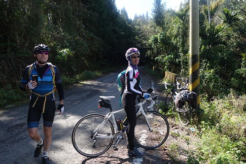
Drew and Iris at the entrance to Huanwei Road.
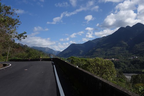
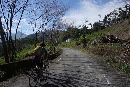
The pavement is mostly ok on the Kaohsiung side. Except for a few steep ramps at the beginning, the grade is gentle and easy.
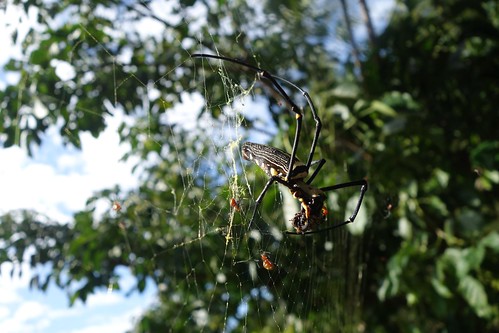
Stopped to get the obligatory spider picture.
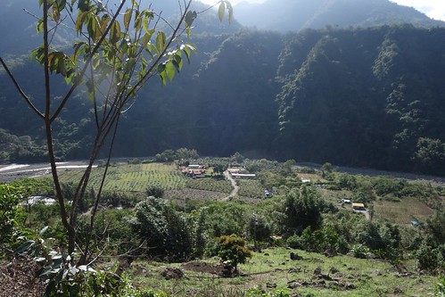
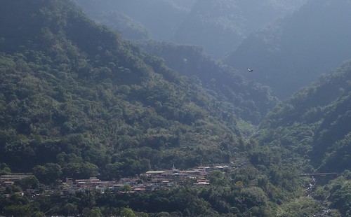
Our hostel from above.
As so often, Iris' beauty brings on male display.
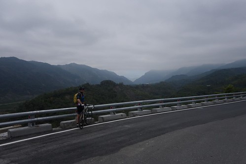
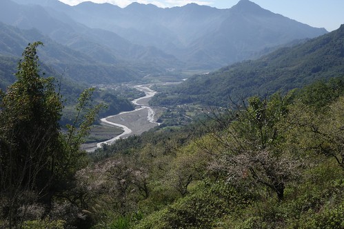
As you climb, the views become ever more lovely.
A hawk circles above Namaxia.
I love that feeling of looking down and saying: "oh yeah, I climbed that."
Iris enjoys the views.
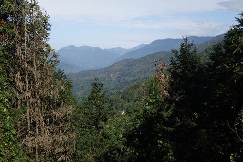
Just before you cross over the ridge to the Chiayi side, the road peaks and the views are spectacular.
The road turns round the ridge....
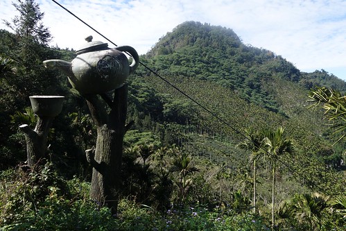
In case you didn't realize you were looking at a tea farm, someone has built a helpful reminder.
Enjoyin' a great day.
And great views.
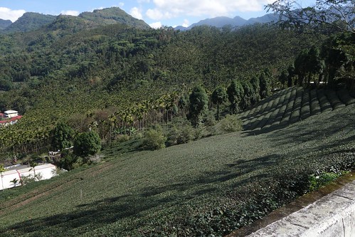
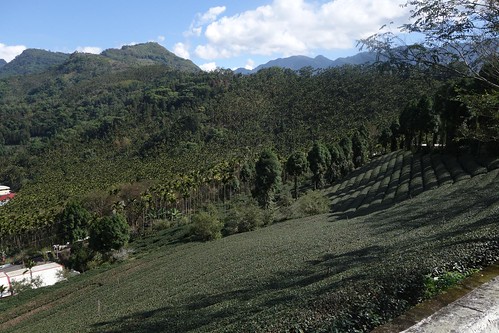
Suddenly everything changes -- from fruit farm and gorge topography, you're in tea terrain.
Staggeringly beautiful.
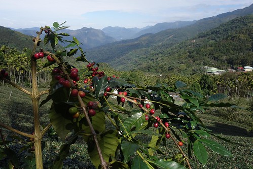
Lot of tea farmers getting into coffee. Drew opined that it was due to tea prices and climate change.
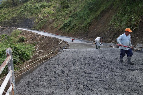
Repairing the road. They wouldn't let us through. We had to take a detour...
...up a steep access road through tea farms...
...that was gorgeous...
...offering excellent mountain views...
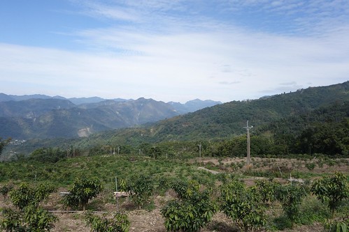
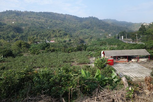
...and quickly coming back to the main road through a fruit farm on the hillside.
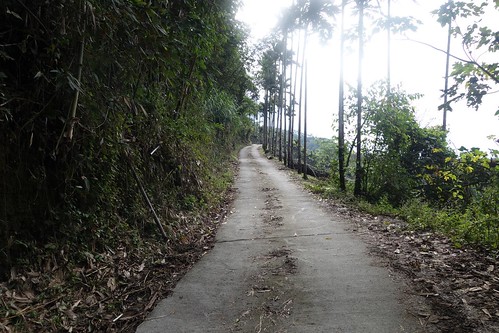
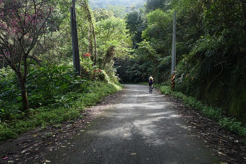
Soon we were in Chiayi. How did we know? No need to look at the signs, Drew and I agreed. Just check the pavement: mountain roads in Chiayi are always in horrible shape.
The Chingshan Industry Road brings you down to the 3 just above Dapu in Chiayi near the Tsengwen Reservoir.
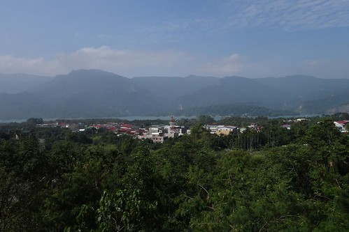
The reservoir is pretty, but Dapu is a craphole tourist town and we had great difficulty finding a simple restaurant to get some noodles.
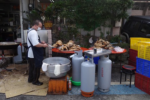
The town's signature dish is deep fried fish head.
From there we took off south down the 3. The problem with being in Dapu is that there is no good way out, except perhaps by bus. You'd think the 3 running along the reservoir would be lovely but most of the time it's heavily vegetated. Moreover, the 3 is up-and-down Taiwan road, running high on the ridge, and is a lot of work for relatively little reward.
Iris gazes out over the reservoir.
It's prettier once you get away from the reservoir, but the senseless climbs continue almost all the way to the end. The 3 is a slog along most of its length, avoid whenever possible.
After beating the 3 to death, we ran down the 20 to Xinshi as night fell, and got on the train. A fantastic day of riding. Love to have you on the next one!
ADDED: My comment on the KMT and the aboriginal housing the government built was attacked on Facebook by someone quite uninformed. Drew clarified it beautifully:
If you look at Michael's photo entitled, "Above Our Hostel", you can see the plateau that once was a traditional village site. As part of the Japanese campaign to colonize Taiwan and, in the views of the Japanese, "pacify the savages" , the Japanese enacted a civilizing project that began with a military occupation of the mountain areas that had not been under the sovereignty of the Qing. Part of this program involved moving indigenous peoples from their traditional villages into more nucleated clusters at lower elevations and along more accessible routes for a rapid military response. They also stationed police officers in every village to act as an agent of the program to guide indigenes through both coercion and violence to accept the Japanese program. The Japanese colonized by numbers and they brought in scientists and statisticians to better understand their colony. Part of this exercise involved a detailed examination of indigenous peoples on Taiwan. This is the bedrock from which Taiwan's current policy was built. The purpose was to both classify and locate indigenes so that they could be held to boundaries, thus allowing large tracts of land to be allocated for exploitation.
The KMT continued this program under a new government. The KMT equated itself and the Chinese values it crated and espoused to be symbols of modernity. It used Chinese nationalism to promote its civilizing project in indigenous areas. This is evident in several of the name changes. For instance, Namaxia had been called San Min in reference to Sun Yat-sen's Three Principles of the People. Part of their program to weaken indigenous identities in favor of a loyal Chinese nationalist identity...as they feared the stability of the mountain areas and were suspicious over the indigenes cooperation with the Japanese. Housing was one way the KMT government hoped to erode indigenous identities and better allow the state to exploit Taiwan's resources. They moved indigenous peoples from their traditional locations and into concrete box structures to "modernize" them without respect to tradition or the choice of the people. They sought to bring them closer to "civility" by moving them closer to areas where they could be acculturated.
Post Morakot provided an opportunity to further this process as the Ma administration lobbied hard to unilaterally remove indigenous people from traditional areas and bring them closer into the lowlands. Ma expressed his desire to see them living in "modern" concrete houses rather than traditional homes as opposed to allowing indigenes to determine for themselves what they wanted and needed. It is an extension of the colonization we have been seeing from an ethnic nationalist ROC state.
For the post Morakot legislation aimed at moving the people out of the highlands so KMT crony corporations could grab resources, see this post.
_______________________
[Taiwan] Don't miss the comments below! And check out my blog and its sidebars for events, links to previous posts and picture posts, and scores of links to other Taiwan blogs and forums!

Hell yeah! back on the bike! Nicely done and wow. Can't believe it. another beautiful little corner of Taiwan. Thanks to you for sharing!
ReplyDelete